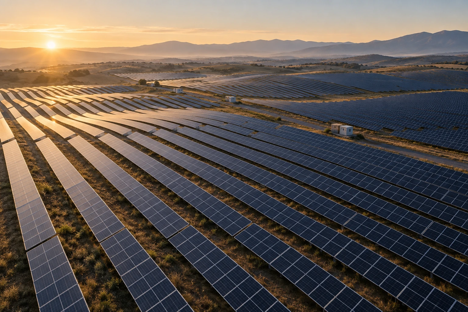
 01 / SOLAR INSPECTION
Solar & energy
See the whole array. Identify thermal hot spots and track panel condition across repeat inspections.

A clearer view of the infrastructure that matters. From the first flight to the next decision.
From energy generation to the last loading dock, see the condition of your assets clearly. Explore an inspection program built around your site.
01 / SOLAR INSPECTION
See the whole array. Identify thermal hot spots and track panel condition across repeat inspections.
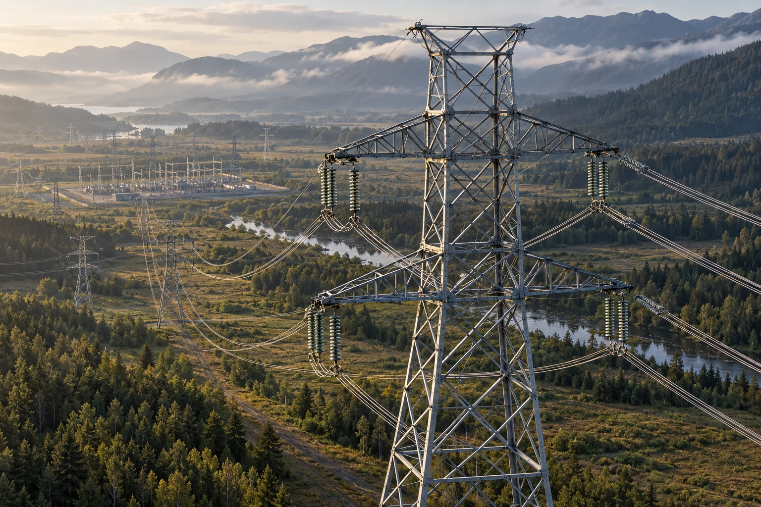 02 / ASSET INSPECTION
Bring transmission corridors and hard-to-reach assets into focus with RGB, thermal and LiDAR imagery.
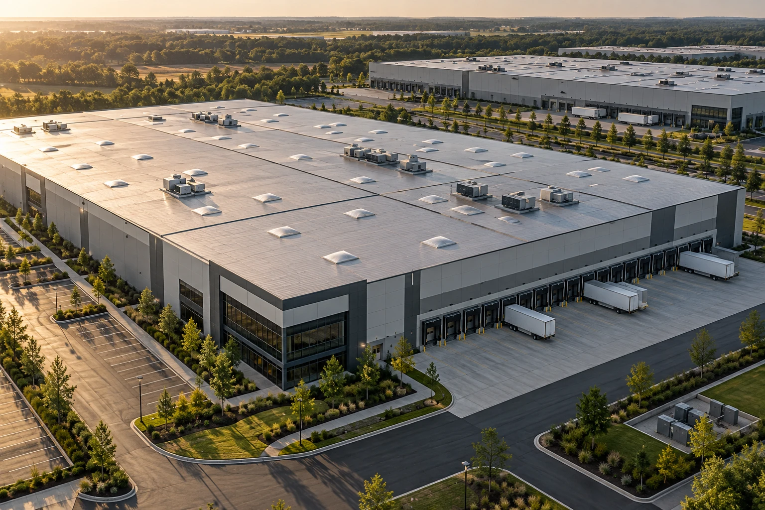 03 / FACILITY INSPECTION
Review roofs, facilities and site conditions from a consistent aerial perspective.
Lightweight precision or industrial endurance. Compare the two demo airframes and find the fit for your inspection program.
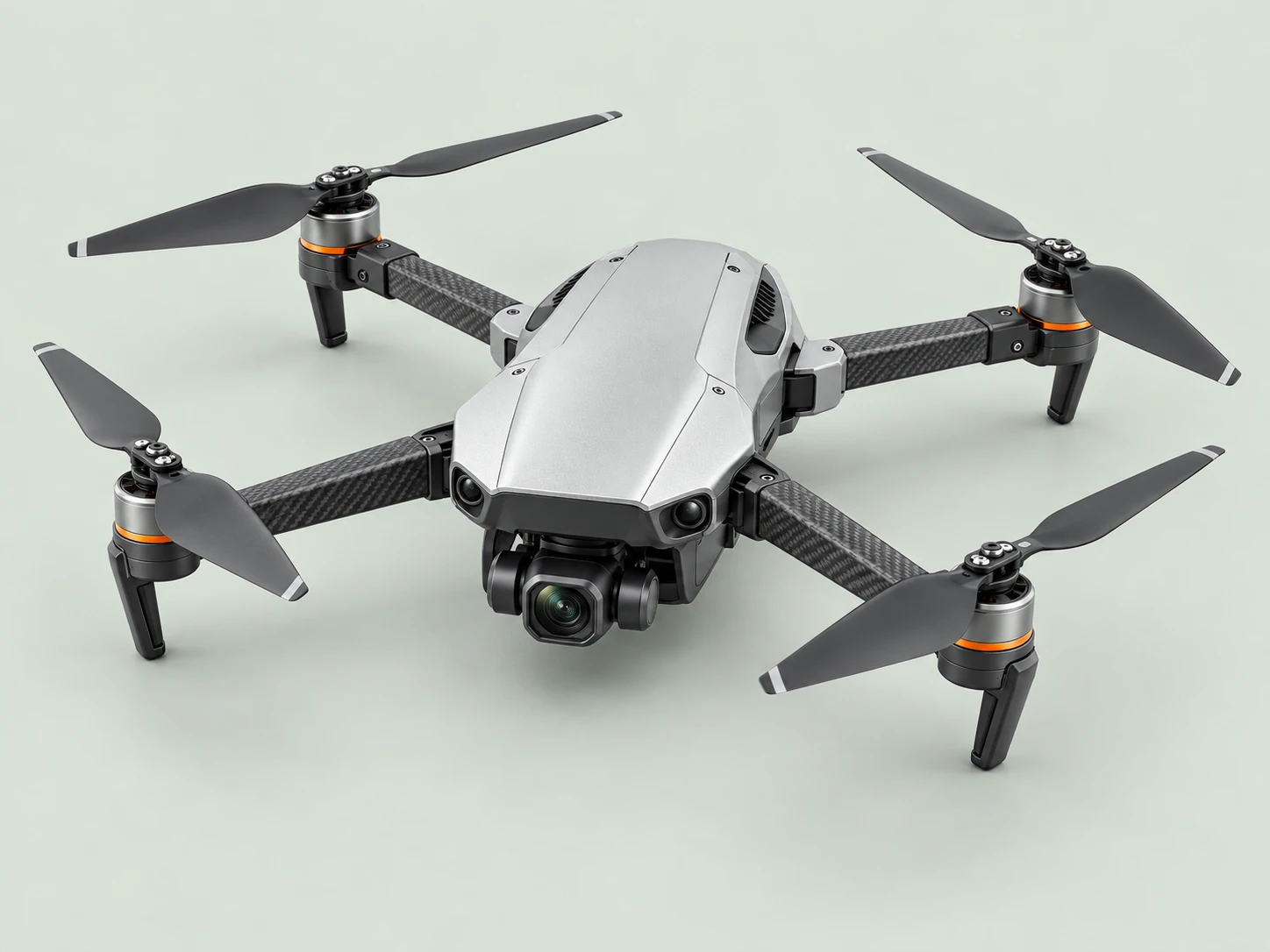
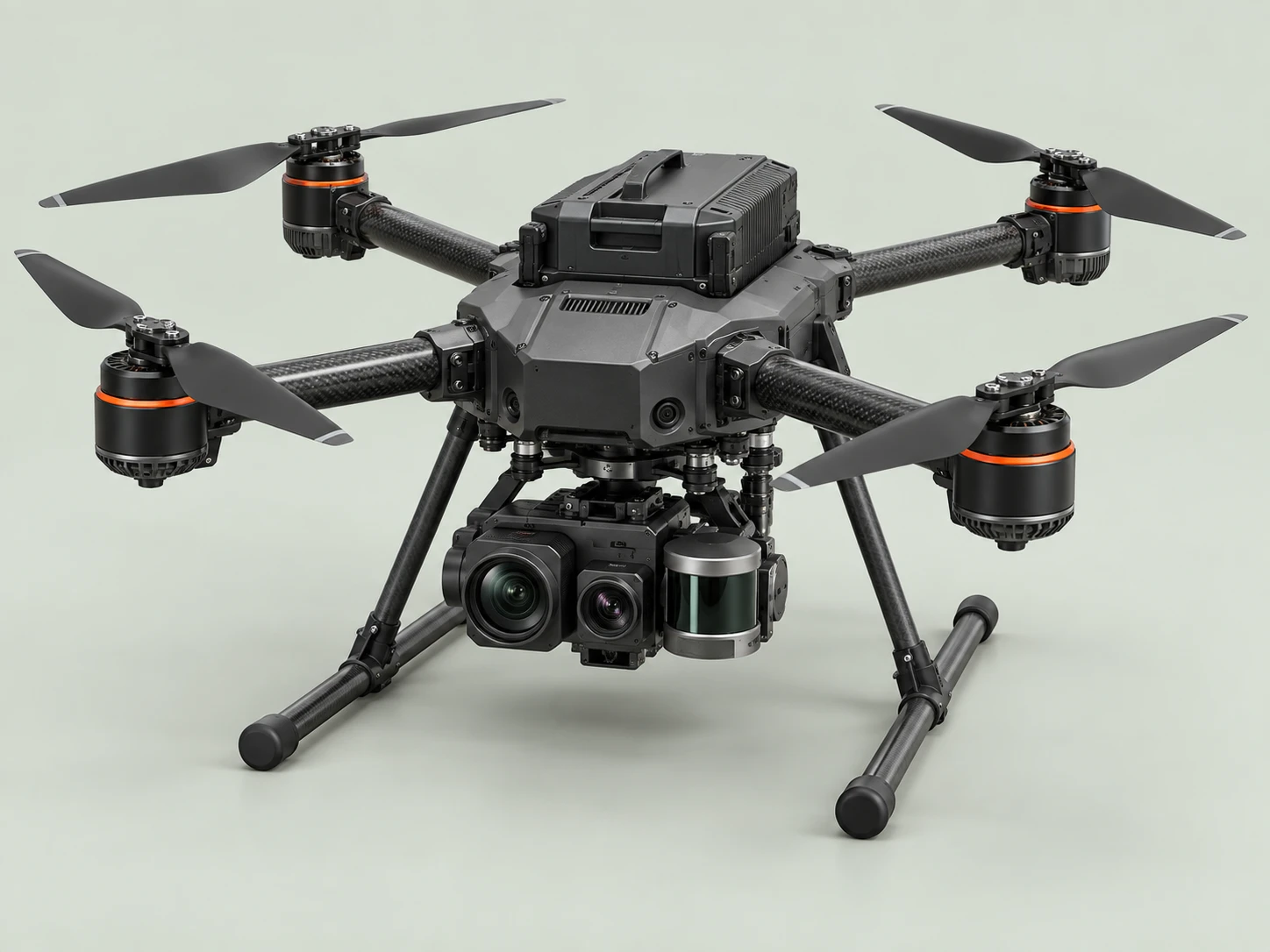
Solar arrays, roofs, and warehouse sites under 50 acres.
Transmission corridors, large sites, and harsh terrain.
The useful part is what comes next: a clear picture of your assets, findings your team can review, and a record you can return to.
Plan the coverage and inspection cadence around your site. Capture RGB, thermal or LiDAR data with the appropriate aircraft.
Turn captured imagery into annotated findings. Compare inspections and bring potential defects into focus for human review.
Review prioritized findings, GPS-tagged locations and visual evidence in one report. Give your team a clear place to start.
Ask the demo assistant about inspection planning, aircraft, coverage or data handling. Get a feel for customer support powered by LibraOS.
AI assistant · Demo only · No real booking is made
Reach out through the support chat or your account team with the site address, approximate array size, and how often you'd like it flown. We'll confirm airspace and site access, schedule a one-time baseline flight, then set up the recurring cadence you choose — weekly, monthly, or quarterly.
We fly for solar and wind operators, utilities, logistics and warehouse operators, and commercial property owners across the continental United States. Coverage depends on local airspace and site access; the support chat can confirm whether your site and industry are in an active service area.
Flight imagery, thermal data, and generated reports stay within your organization's own environment rather than a shared vendor database. Access is limited to the team members you authorize; support staff only see what's needed to resolve a specific ticket, with your permission.
Most missions deliver a full report within 24 hours of landing. Larger transmission-corridor flights or LiDAR-heavy missions on the M2 can take up to 48 hours. Any defect flagged as urgent — like a hot spot near a live conductor — is surfaced immediately, ahead of the full report.
Pricing is a per-site subscription based on coverage area (or corridor length for transmission lines) and inspection frequency, not a per-flight fee. That covers the drone, the flight, the analysis, and the report — ask the support chat or your account team for a quote specific to your site.
Each report includes a site-level summary, a ranked list of flagged defects with severity, annotated RGB and thermal imagery for every finding, GPS-tagged locations, and a comparison against the previous flight so you can track whether an issue is new or worsening.